
How I Totally Failed at Kayaking in Congaree National Park (With a Good Ending)
If you asked me to choose two words that describe my trip to Congaree National Park, I would probably respond with “logistical nightmare.” I tend to be really good at overcomplicating things, and that skill was loud and proud on this weekend trip! Congaree was also my very first attempt at planning a trip that involved paddling, and let me tell ya, I did a bad job of it. Now I’m here for you to either laugh at my incompetency or learn from my mistakes.
Let’s go!
While “logistical nightmare” is a great description of my trip, I would probably say something more like “swampy trees” to describe the park itself. Congaree National Park is one of our smaller national parks at around 26,000 acres, and it is vastly underdeveloped compared to some of its larger friends. Interestingly, the reason it is so underdeveloped is the same reason that this old growth forest still exists in eastern United States—because it’s underwater most of the time. The flooding that made it hard for developers to log this forest when the US was first established is also what makes it difficult to establish hiking trails. And I love calling it a swamp, but in reality, Congaree is actually a “floodplain forest.” Either way, it has a pretty swampy demeanor, meaning way less hiking trails than most land-based national parks.
Click here to read about Congaree’s more famous neighbor, Great Smoky Mountains National Park.

When I started looking into a potential visit, I found that the national park hosts canoe trips. Perfect! We could float down a river without the hassle of bringing boats. Unfortunately, it wasn’t that easy. I struggled through the reservation process that was a whole ordeal in and of itself, and ultimately failed at booking a spot.
By now, though, I was set on this plan of paddling at Congaree. The park itself does not have a concessionaire for boat rentals, so plan B was to rent kayaks from a nearby outfitter.
Here’s where it gets tricky: this was not a solo trip, and I couldn’t for the life of me figure out how to strap more than one kayak to my car at a time. My brother’s girlfriend, Fiona, would be traveling with me from Atlanta, but my brother Matt would be meeting us at the park from school. I devised a plan to bring one of my parents’ kayaks with me, and then drop it at camp and take both cars to pick up the rentals in the morning. Sounds simple enough…right?

Camping at Longleaf Campground
On Friday afternoon, I picked up Fiona from work in Atlanta. Congaree National Park is about 3.5 hours from the city, but it was dark by the time we got there. There are only two front country camping options—Longleaf and Bluff campgrounds. They are essentially the same campground since they share a parking lot; the main difference is your distance from your vehicle. The sites at Longleaf are only a few steps from the parking lot, and the sites at Bluff are a mile or more away. The choice comes down to whether you prioritize seclusion or convenience.
I chose convenience. It ended up being pretty helpful to be near the car while setting up camp in the moonlight. Like the rest of the park, the campground is wooded and shady, with plenty of space to pitch a tent on a bed of pine needles.

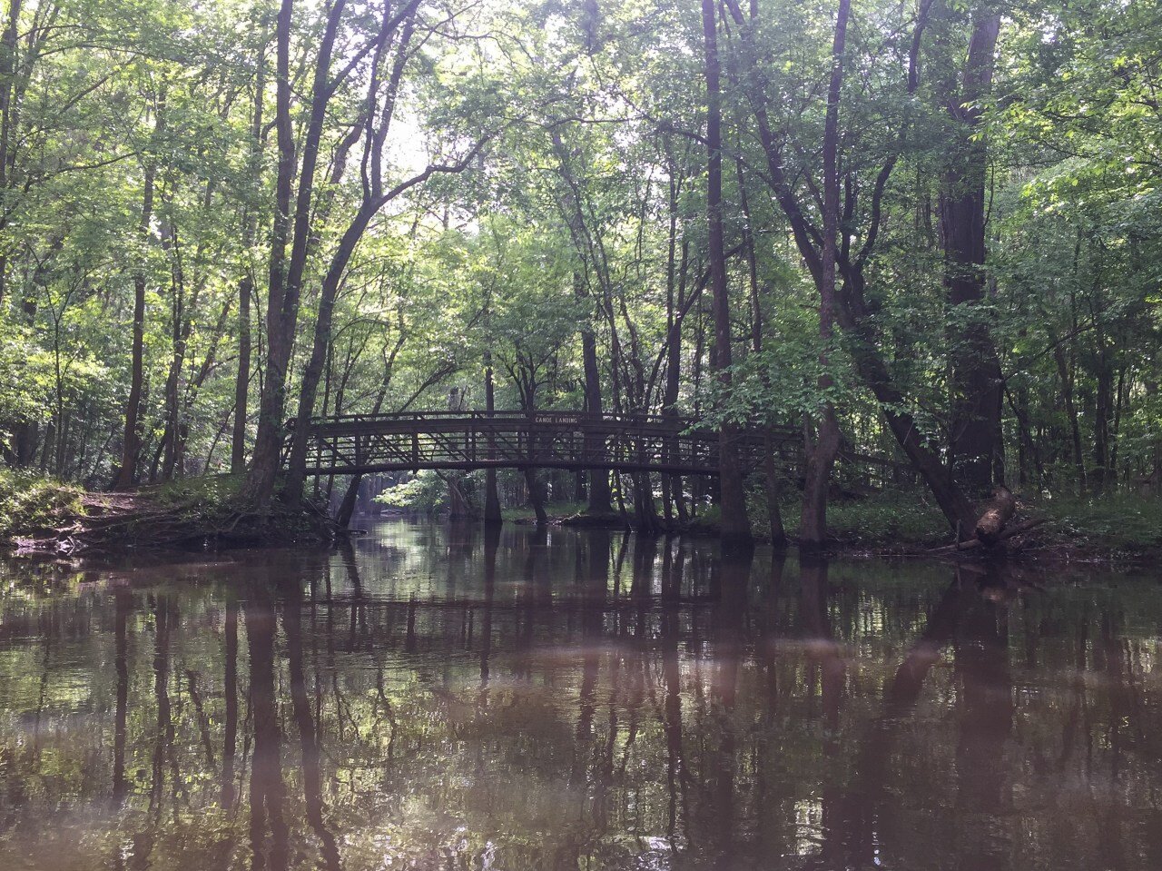
Bannister Bridge Canoe Access
Saturday morning, we dropped the kayak I brought at the Bannister Bridge access point for the Cedar Creek Canoe Trail. Thinking back on it, I can’t remember if there was a specific reason we chose this access point…it may have been on the way into town and therefore more convenient, but I really don’t remember. Matt driving his car and myself in my own, we caravanned the half hour drive into Columbia, South Carolina to get two more kayaks. Picking up the boats went smoothly enough, but we had killed at least two hours by the time we returned to Bannister Bridge.
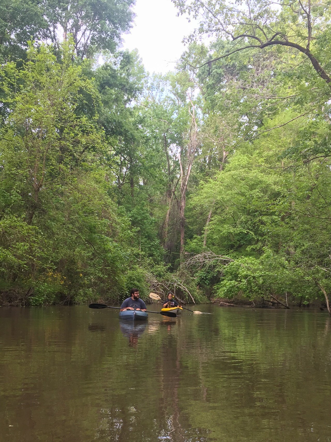
My delight for being on the water quickly turned to despair. We had barely made it anywhere before we reached the first impassable downed tree. No big deal, I thought. The rec boats we were using weren’t particularly heavy, and we easily portaged around the tree on a sandy beach.
But then there was another one. And another.
Discouraged, we discussed our options. Driving into Columbia that morning had already cost so much time that it would be late afternoon by the time we transported all three of the boats to the other river access spot…but we unanimously agreed that attempting to continue paddling from this direction wasn’t worth it.
In the end, we decided to take one kayak back to camp, and then strap the other two to the roofs of our cars and drive to the visitor center.

Weston Lake Loop Trail
It was already the afternoon when we reached the visitor center and I was feeling somewhat defeated. The decision to hike instead of kayak for the rest of the day brought me out of my funk: this is something I know how to do.
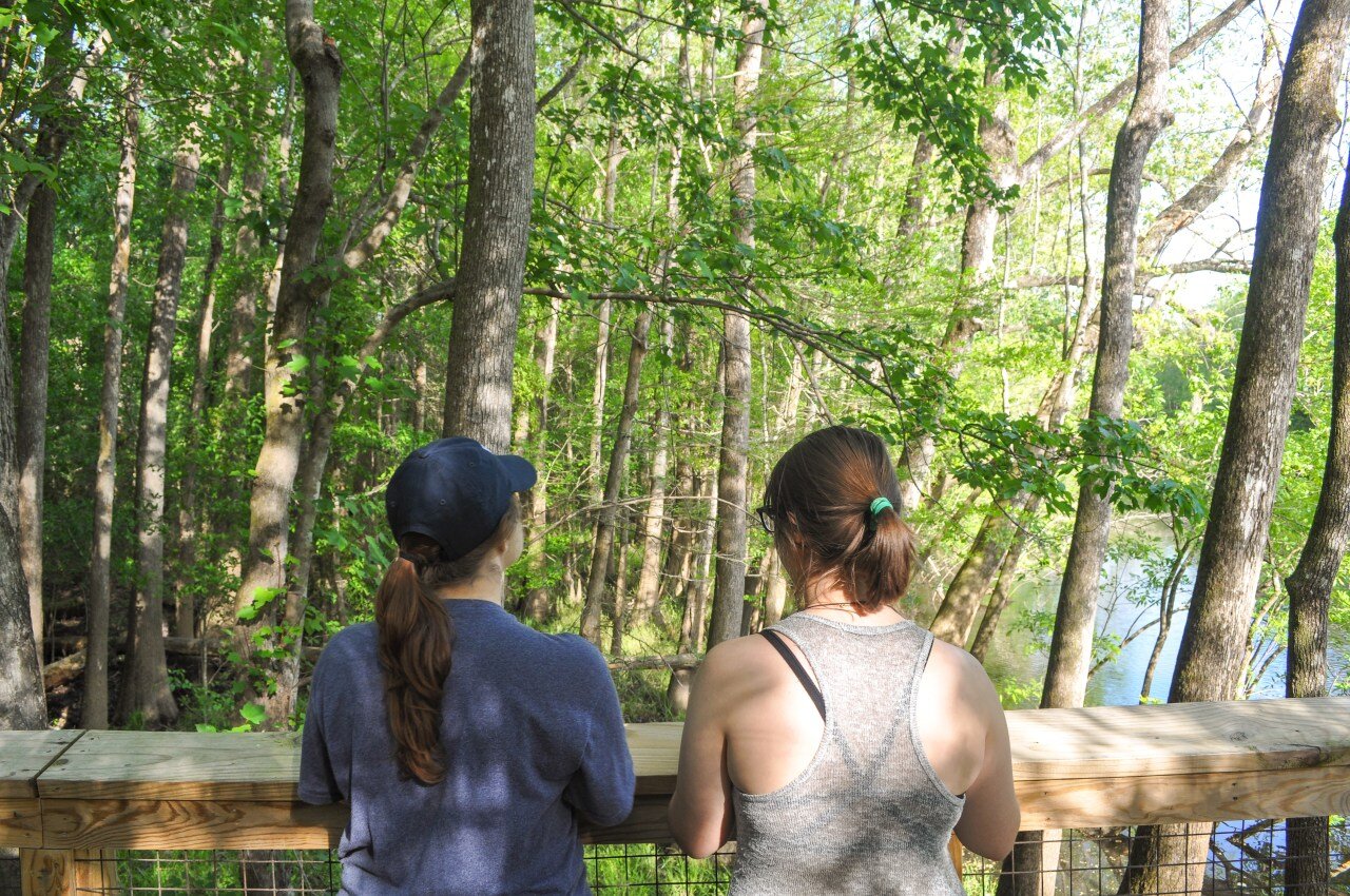
Congaree National Park only has about 25 miles of hiking trails, all starting at the visitor center. From November to May, you may encounter floodwater, mud, and downed trees on the trails, leaving the two-mile boardwalk the sole footpath leading into the forest. The trails were all accessible for our April visit, and we chose to traverse the 4-mile Weston Lake loop.
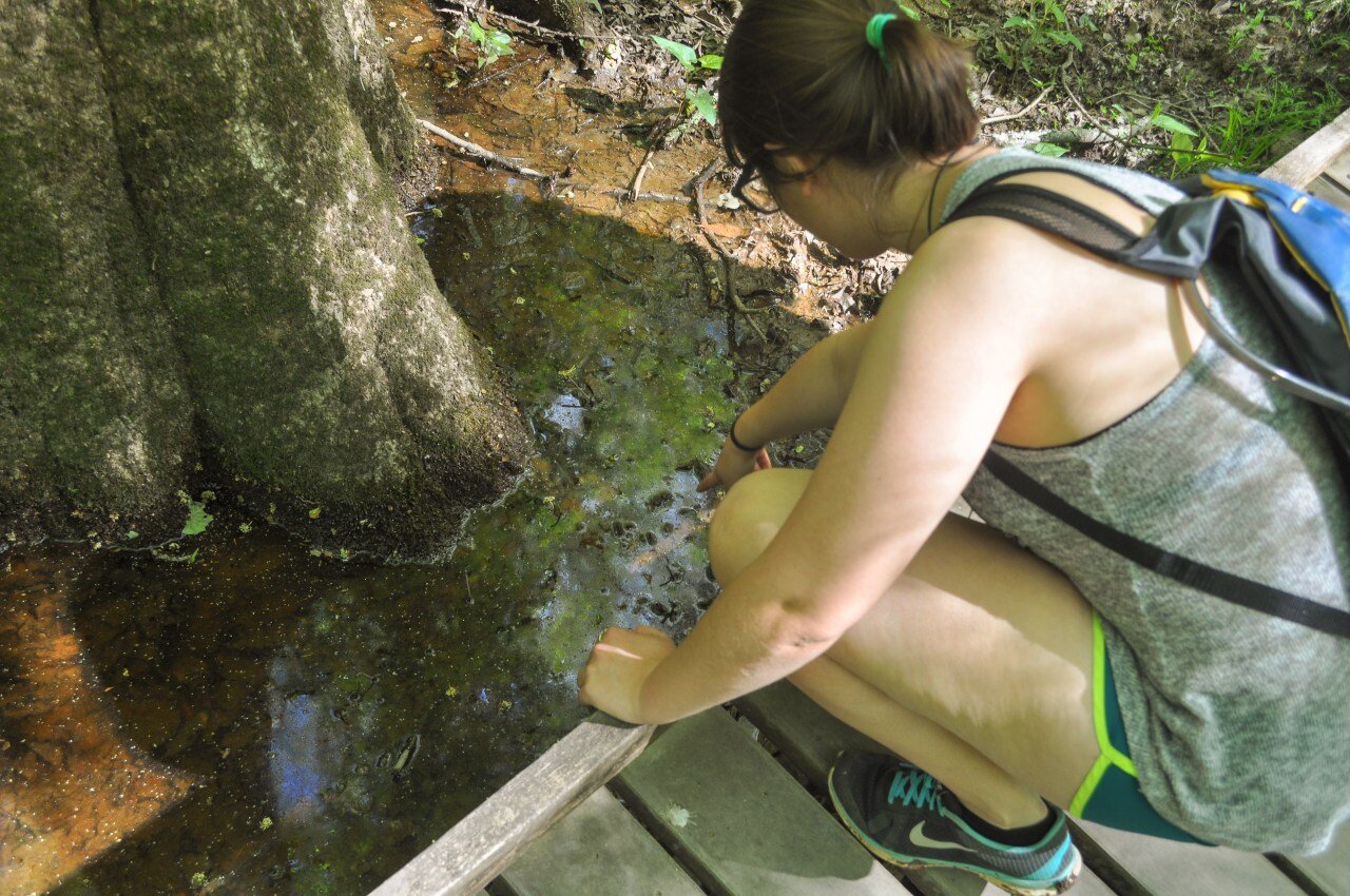
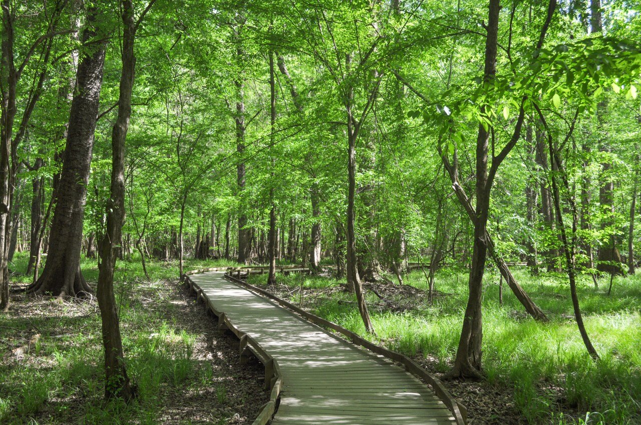
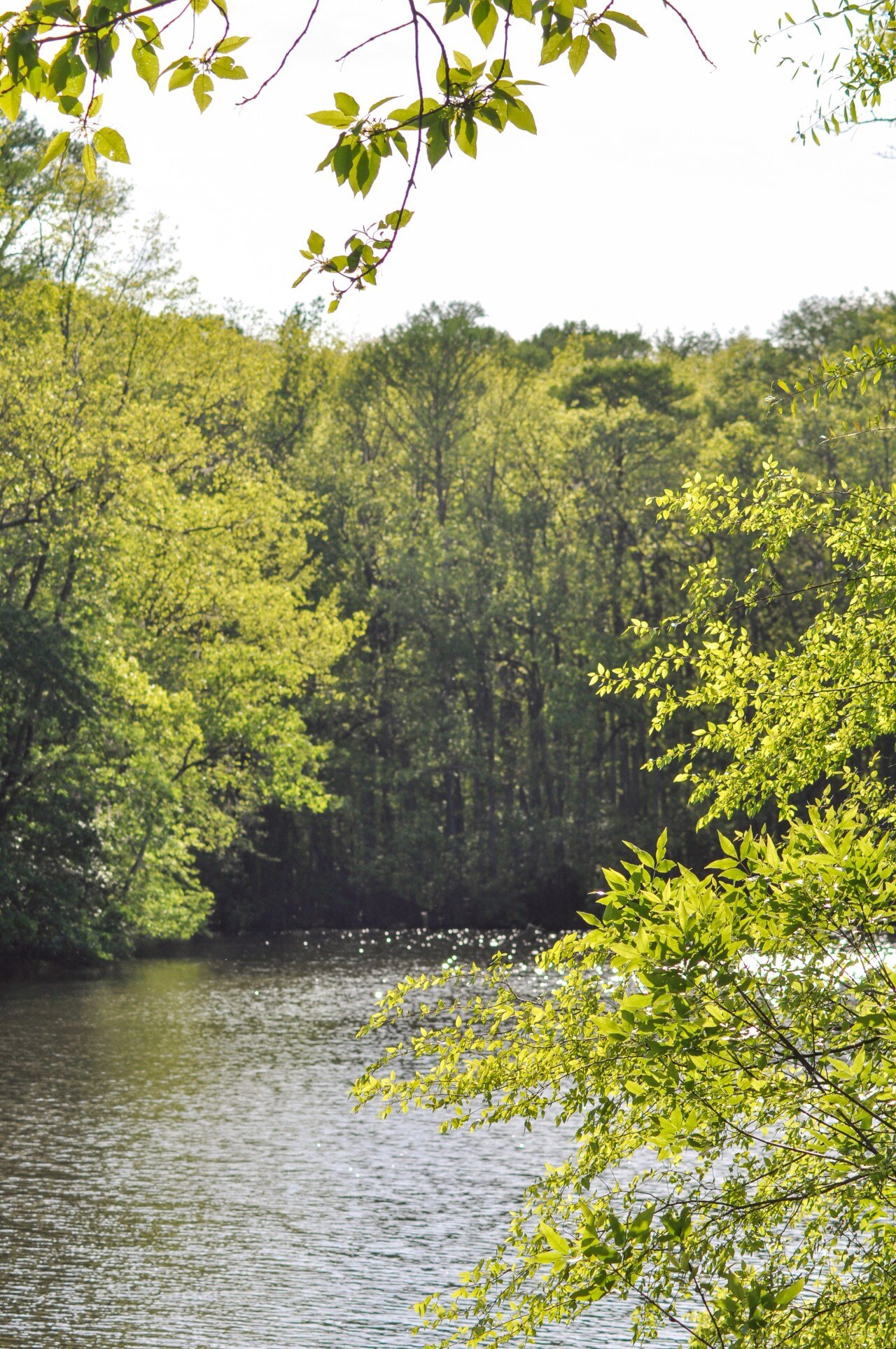
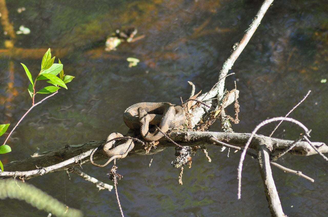
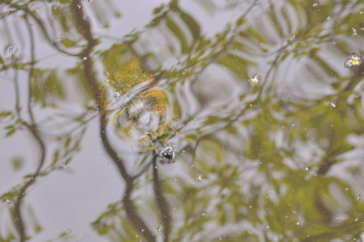
The trail begins on the boardwalk before transitioning to a dirt trail. Our walk through the shadowy forest showcased massive pines and wide cypress trees, and the forest floor was dotted with yellow wildflowers. We snaked along the shore of Cedar Creek, and Matt and Fiona entertained me with a plethora of scientific facts about the environment around us. The boardwalk featured an overlook of the tiny Weston Lake where we spotted a bunch of wildlife, most notably snakes and turtles.
The flat terrain of the park makes for easy hiking. We probably could have walked one of the longer trails, like the Oakridge or Kingsnake trails, but our shorter hike gave us more time to enjoy the evening back at camp and cook dinner.
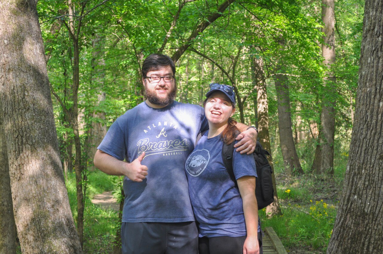
Matt and Fiona are far more creative camp cooks than myself, and they prepared jambalaya for dinner…much fancier than what I usually provide for myself. The three of us retired to bed earlyish that night so that we could make the most of the next morning.

South Cedar Creek Canoe Access
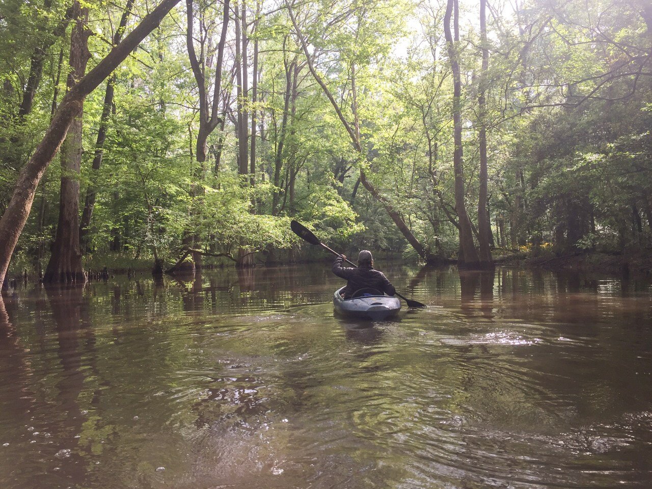
We were up before the sun on our final day in Congaree. With our two boats still strapped to the cars, we made our way to South Cedar Creek Road after tearing down camp. We deposited the boats and left Fiona to guard them while Matt and I returned to camp to pick up the third boat. The park rangers at the visitor center had ensured us that this route was the way to go, and I was ready to check it out!
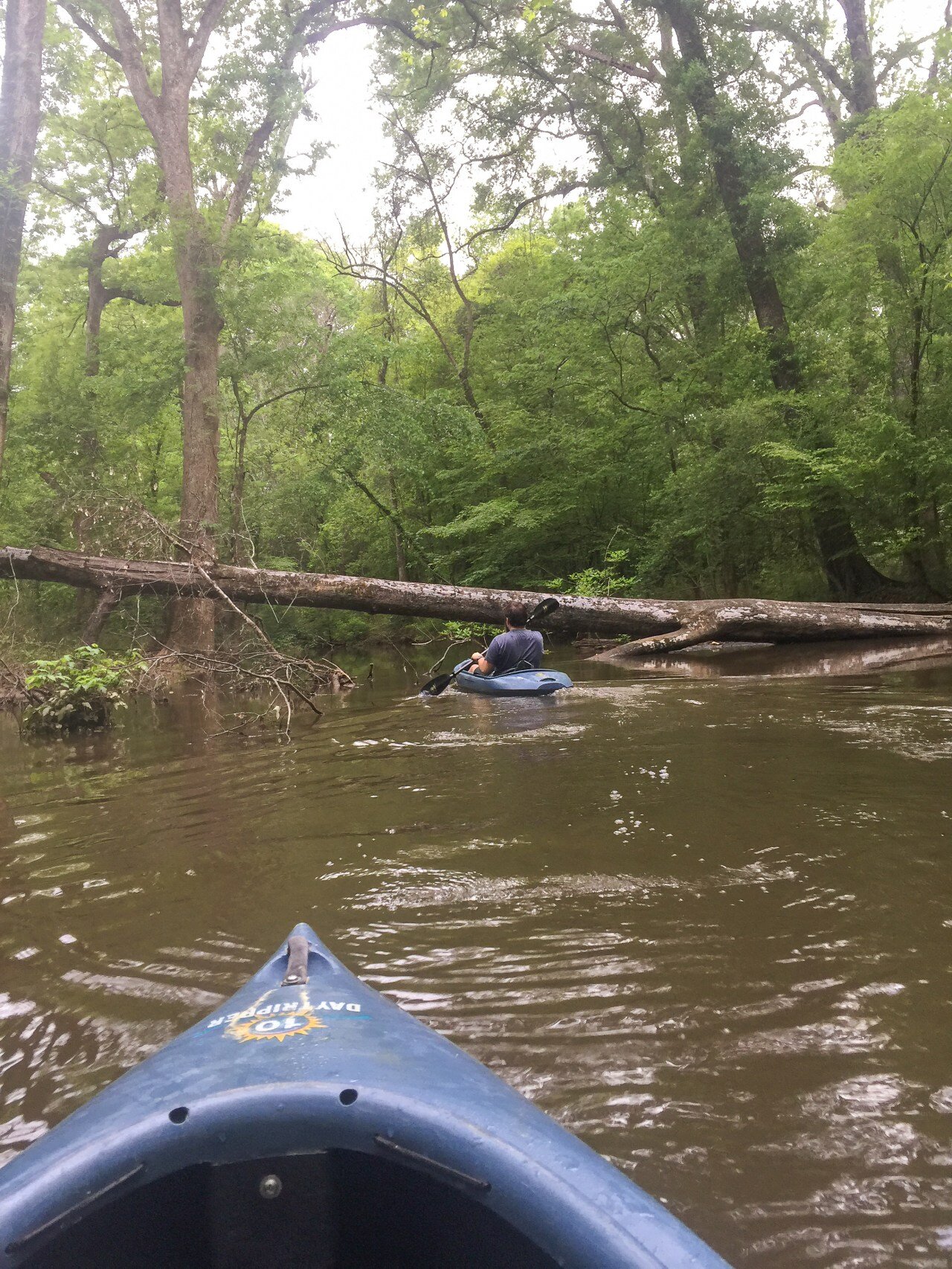
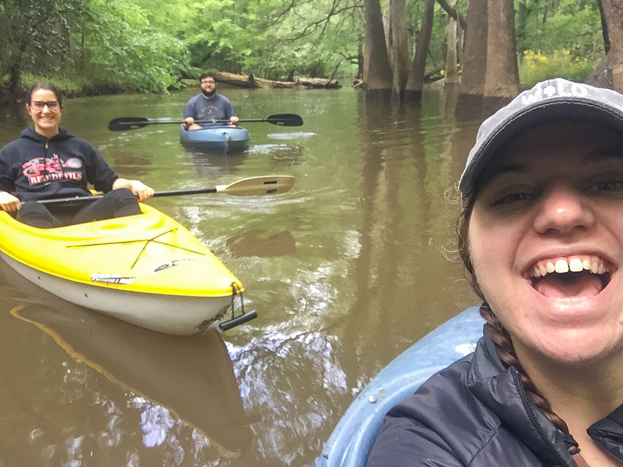
Disturbing the still quiet of the morning, our boats slid easily into the water. I did a quick survey of the creek around me and decided in an instant that we were golden. The creek was much wider here than at Bannister Bridge. There were still plenty of downed trees, but none so low that we couldn’t duck under them. I felt the usual thrill that accompanies a visit to a national park—it was Earth Day and we had the water all to ourselves.
Around 8am we pulled into a small alcove to eat the breakfast we had packed. I kept my eyes open for wildlife, but we heard more than we saw. An avid birder, Matt was able to spot birds I would have never seen on my own, and then lead conversations speculating the identity of different birdcalls.
I also received a thorough lesson on the purpose of cypress knees, which are not, in fact, also known as “troll hands.” Much like the visual I get when I think of troll hands, cypress trees are often covered by water, causing them to reach upward toward oxygen…like hands! They really should put me in charge of naming things.

I did donuts in my kayak, took selfies with trees, and sang Pocahontas, because out in the woods you can be whatever you want to be, and I was happy. All told, we were on the water for about three hours and traveled about 5 miles, against the current on the way out and with it on the return.
Boardwalk Trail
Matt had a long drive back to school, so we returned the two rental boats to Columbia and said goodbye to him. Fiona and I then returned to the park to retrieve our other kayak and walk on the boardwalk one more time.

We had covered most of the boardwalk the day before, but skipped the middle section when we hopped onto the West Lake trail. You can pick up a self-guided tour in the visitor center, which corresponds with numbers along the boardwalk. We followed most of the tour when we did the West Lake loop, but finished out the tour on our return to the boardwalk.
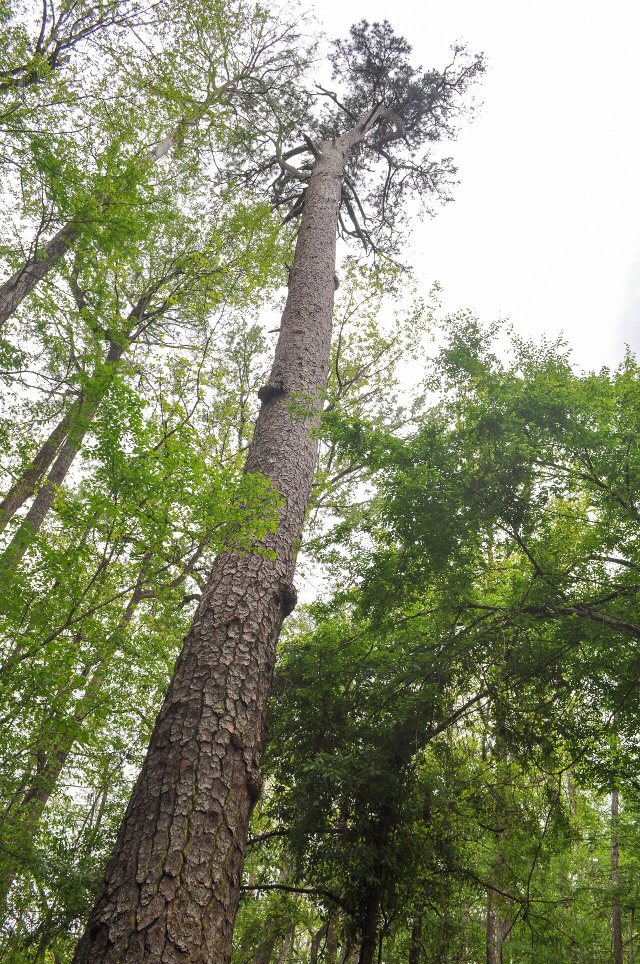
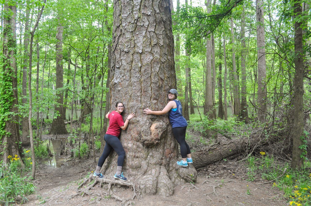
The walk also showcases the largest pine trees I have ever seen. I’m sure that these trees ain’t got nothing on the Redwoods of the west coast, but as far as pine trees go, you won’t find bigger ones anywhere else in the United States.
Lessons Learned
What started out as a clumsily planned attempt at paddling down Cedar Creek got worse before it got better. By the end of the trip, though, I felt thoroughly fulfilled by our visit to Congaree National Park. I didn’t know at the time that you can easily check water conditions via the national park website or the USGS site, which is a tool I’m still slowly learning to use. Luckily, we were able to have a successful morning out on the water, made sweeter by how hard I struggled to make it happen!


